
Walking the GR34
Time to hit the trail!Explore the nation’s favourite GR (long-distance) route! The GR34, also known as “Sentier des Douaniers” (Custom Officers’ Path), is an 1800 kilometers waymarket trail from Mont Saint-Michel to Saint-Nazaire. Taking in dramatic cliffs, sandy beaches, dancing wildflowers, coves, and dunes, there is plenty to admire along the way.

A popular hiking trail
After the creation of the National Customs Authority in 1791, the Breton Customs Officers' Path was created with the objective of monitoring the coasts and fighting smuggling. It runs along almost the entire coast of the Brittany region, and stretches over 1800 kilometers.
Gradually abandoned during the first half of the 20th century, several sections were cleared in the 1960s. Today’s hikers on the GR34 appreciate the extraordinary beauty of the area, and landscape diversity.

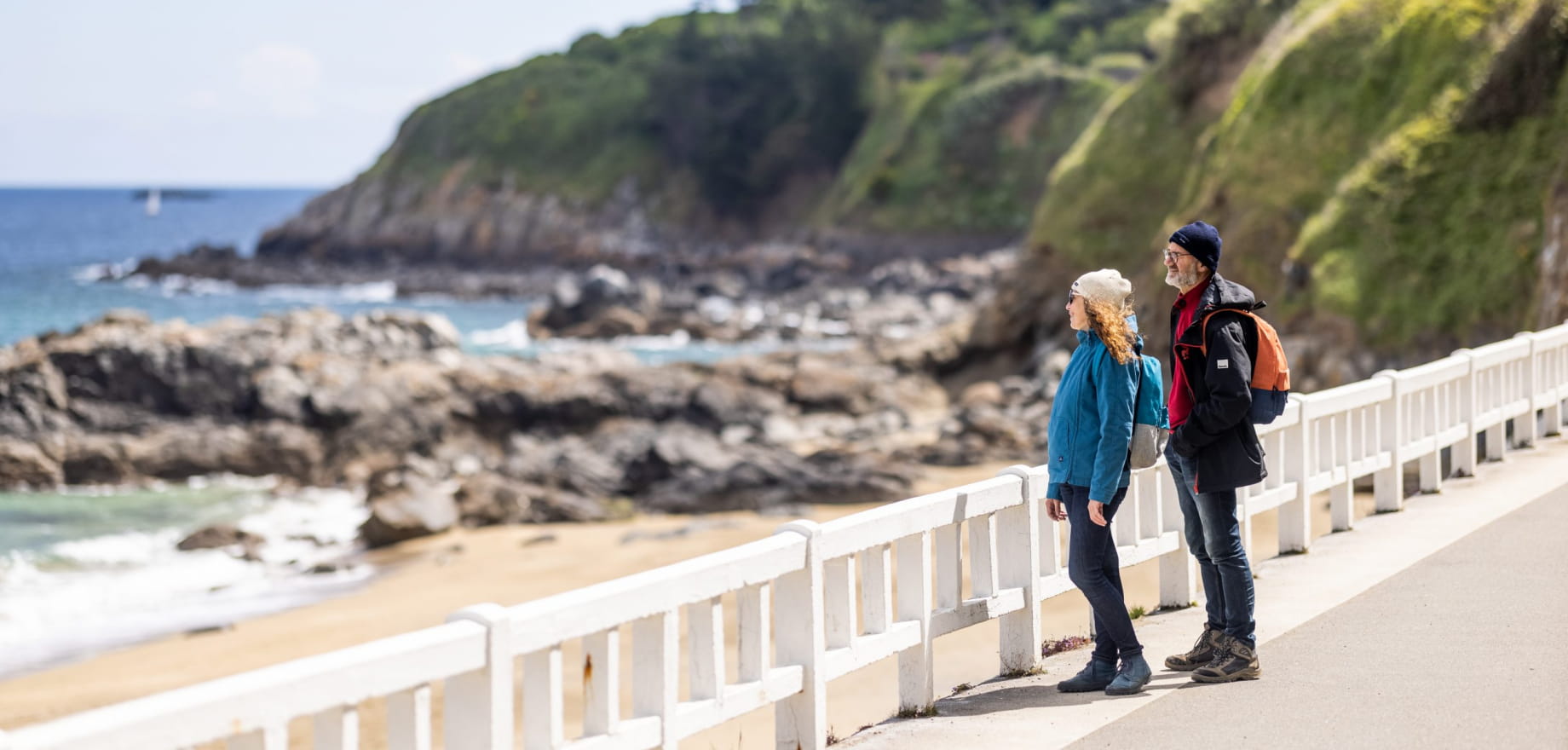
Follow the GR34 in Saint-Quay-Portrieux
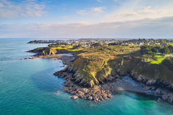
Discover the little-known Goëlo coast in Saint-Quay-Portrieux. Pointe du Sémaphore offers the best panoramic views on the Bay of Saint-Brieuc : from Bréhat to the east, to Cap Fréhel to the west. From the coast, you can also admire the islands off Saint-Quay.
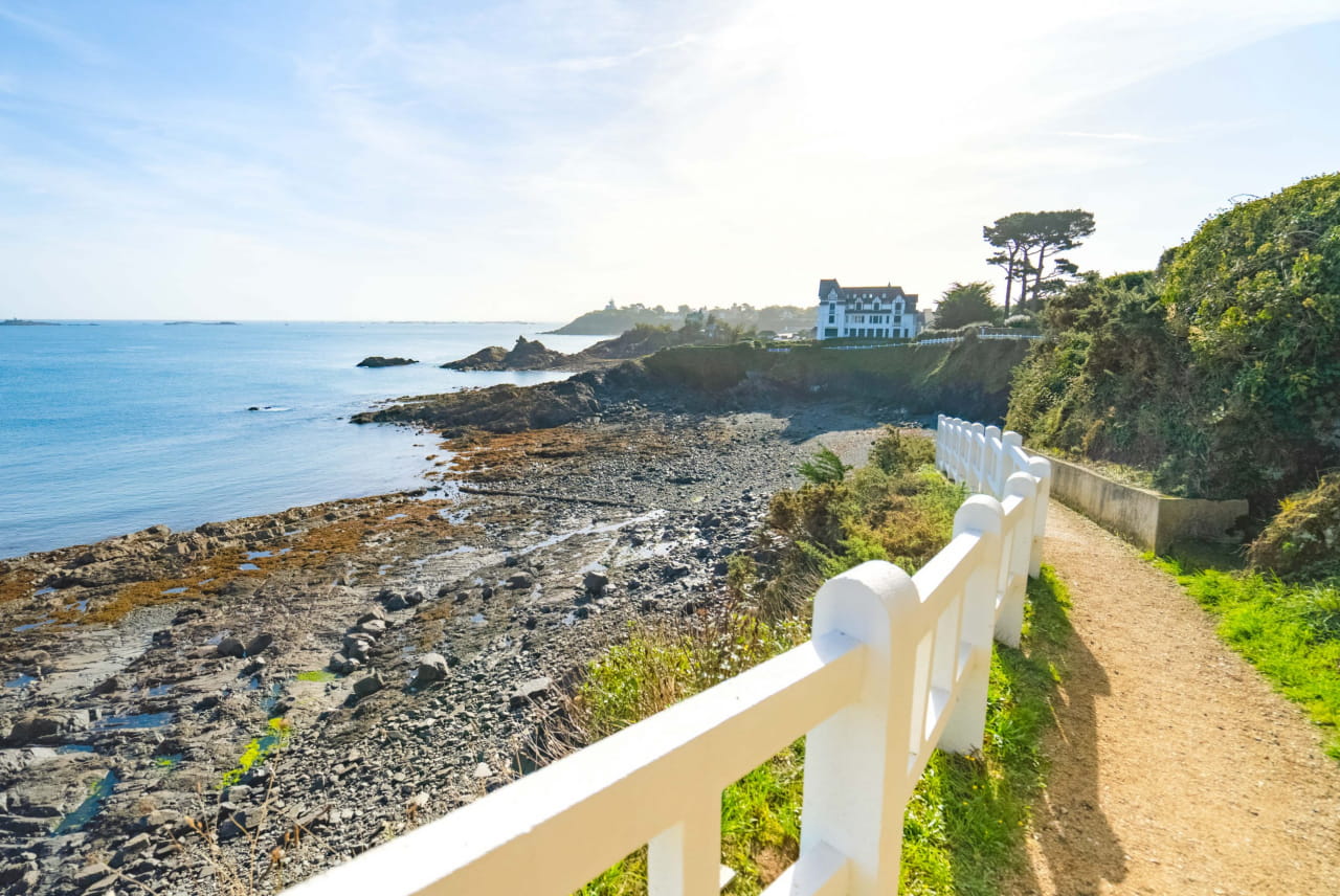
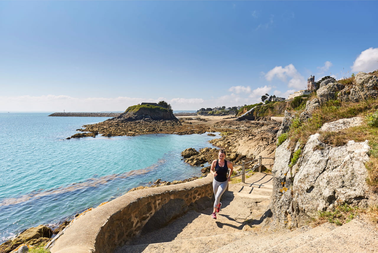
The footpath passes through Saint-Quay-Portrieux with cliff walks and stunning views on seaside properties from the 20th century. It also leads to several beaches and coves.
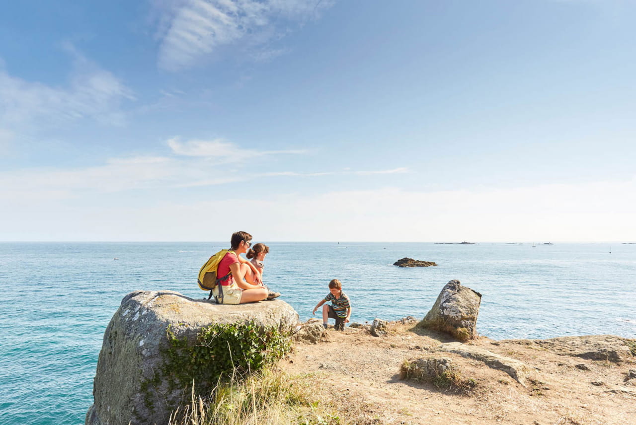
Walking the GR34 is an epic journey of contrasts, and the best way to discover Saint-Quay-Portrieux as a seaside resort, as well as a port town.

Backpacking?
Distances between Loguivy-de-la-mer and Cap Fréhel
To Paimpol
- Port d'Armor > Casino: 2 km
- Port d'Armor > Pointe du Bec Vir: 6,3 km
- Port d'Armor > Gwin Zegal: 13 km
- Port d'Armor > Bréhec: 20 km
To Saint-Brieuc
- Port d'Armor > Plage du Moulin: 1,8 km
- Port d'Armor > Port de Binic: 7 km
- Port d'Armor > Pointe de Pordic: 12,3 km
- Port d'Armor > Pointe du Roselier: 19,6 km
Be inspired by one of our suggested itineraries
A tour around the old mansions and hidden heritage of Saint-Quay-Portrieux